Site of former fuel station, Long Melford
Introduction
The photograph on this page of Site of former fuel station, Long Melford by Robin Webster as part of the Geograph project.
The Geograph project started in 2005 with the aim of publishing, organising and preserving representative images for every square kilometre of Great Britain, Ireland and the Isle of Man.

There are currently over 7.5m images from over 14,400 individuals and you can help contribute to the project by visiting https://www.geograph.org.uk
Site of former fuel station, Long Melford
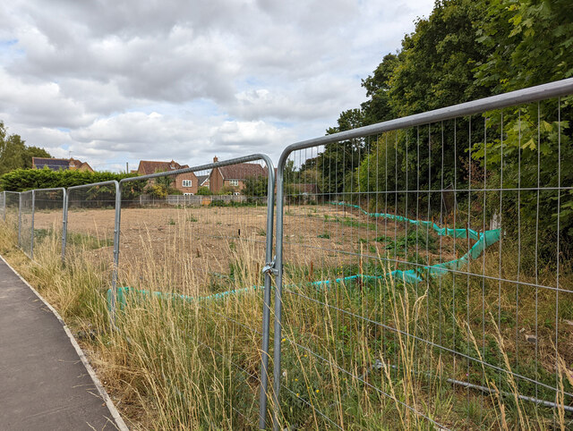
Image: © Robin Webster Taken: 21 Aug 2022
Apparently earmarked for development. The trees on the right are along the course of the old Great Eastern Railway route from Sudbury to Bury.
Images are licensed for reuse under creativecommons.org/licenses/by-sa/2.0
Image Location
Latitude
52.069103
Longitude
0.714789