Coverham, Tup Gill Park
Introduction
The photograph on this page of Coverham, Tup Gill Park by Mel Towler as part of the Geograph project.
The Geograph project started in 2005 with the aim of publishing, organising and preserving representative images for every square kilometre of Great Britain, Ireland and the Isle of Man.

There are currently over 7.5m images from over 14,400 individuals and you can help contribute to the project by visiting https://www.geograph.org.uk
Coverham, Tup Gill Park
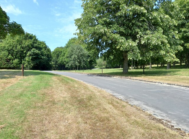
Image: © Mel Towler Taken: 18 Jul 2022
According to the OS benchmark database in this location, looking south to the Coverham/Middleham road there was a cutmark in a wall. The park is now a popular visitor attraction, the Forbidden Garden, and with lots of reshaping and redesigning of the grounds many walls have gone. The benchmark has been destroyed.
Images are licensed for reuse under creativecommons.org/licenses/by-sa/2.0
Image Location


Leaflet Map data © OpenStreetMap
Latitude
54.272711
Longitude
-1.853165