Bridleway near Kingswood in Staffordshire
Introduction
The photograph on this page of Bridleway near Kingswood in Staffordshire by Roger Kidd as part of the Geograph project.
The Geograph project started in 2005 with the aim of publishing, organising and preserving representative images for every square kilometre of Great Britain, Ireland and the Isle of Man.

There are currently over 7.5m images from over 14,400 individuals and you can help contribute to the project by visiting https://www.geograph.org.uk
Bridleway near Kingswood in Staffordshire
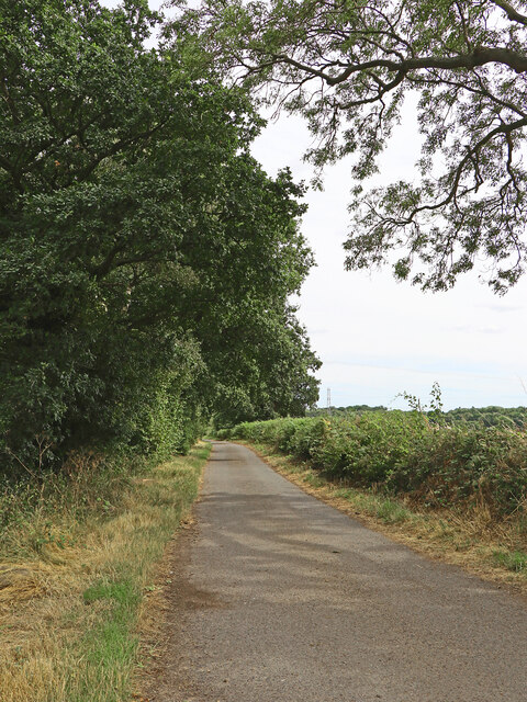
Image: © Roger Kidd Taken: 1 Aug 2022
Looking south-east towards The Bradshaws and Wrottesley Hall. The bridleway is only surfaced as far as The Coach House (recently renovated) about three hundred metres ahead. Victorian maps label this as Old Road, but it only appears to go as far as Simmonds's Wood 900 metres (about 983 yards) ahead.
Images are licensed for reuse under creativecommons.org/licenses/by-sa/2.0
Image Location
Latitude
52.617047
Longitude
-2.244549