Along Hay Street
Introduction
The photograph on this page of Along Hay Street by Neil Owen as part of the Geograph project.
The Geograph project started in 2005 with the aim of publishing, organising and preserving representative images for every square kilometre of Great Britain, Ireland and the Isle of Man.

There are currently over 7.5m images from over 14,400 individuals and you can help contribute to the project by visiting https://www.geograph.org.uk
Along Hay Street
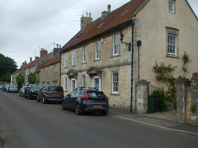
Image: © Neil Owen Taken: 23 Jul 2022
A look along one of Marshfield's primary roads. A benchmark can be discovered by the drainpipe - see Image
Images are licensed for reuse under creativecommons.org/licenses/by-sa/2.0
Image Location


Leaflet Map data © OpenStreetMap
Latitude
51.462657
Longitude
-2.315621