Reigate Hill
Introduction
The photograph on this page of Reigate Hill by Ian Capper as part of the Geograph project.
The Geograph project started in 2005 with the aim of publishing, organising and preserving representative images for every square kilometre of Great Britain, Ireland and the Isle of Man.

There are currently over 7.5m images from over 14,400 individuals and you can help contribute to the project by visiting https://www.geograph.org.uk
Reigate Hill
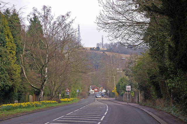
Image: © Ian Capper Taken: 15 Mar 2008
Reigate Hill is the street name assigned to this section of the A217 out of Reigate leading up to Junction 8 of the M25. It is also the hill itself on the North Downs, as seen in the background with the television masts. On the left can be seen an early 19th century milestone (see Image).
Images are licensed for reuse under creativecommons.org/licenses/by-sa/2.0
Image Location
Latitude
51.248058
Longitude
-0.202957