Canal feeder
Introduction
The photograph on this page of Canal feeder by Mark Percy as part of the Geograph project.
The Geograph project started in 2005 with the aim of publishing, organising and preserving representative images for every square kilometre of Great Britain, Ireland and the Isle of Man.

There are currently over 7.5m images from over 14,400 individuals and you can help contribute to the project by visiting https://www.geograph.org.uk
Canal feeder
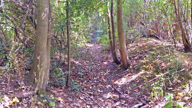
Image: © Mark Percy Taken: 11 Jul 2022
The shallow ditch is marked on the 1:25000 Ordnance Survey map as "canal feeder". It's a remnant of a channel that took water from Ruislip Lido to the Paddington Arm of the Grand Union Canal, linking with sections of Yeading Brook. https://londoncanals.uk/2013/02/05/the-grand-junction-canal-feeder-from-ruislip-5/
Images are licensed for reuse under creativecommons.org/licenses/by-sa/2.0
Image Location
Latitude
51.535774
Longitude
-0.416871