Vanguard Foundry, Bott Lane, Lye
Introduction
The photograph on this page of Vanguard Foundry, Bott Lane, Lye by Oliver Mills as part of the Geograph project.
The Geograph project started in 2005 with the aim of publishing, organising and preserving representative images for every square kilometre of Great Britain, Ireland and the Isle of Man.

There are currently over 7.5m images from over 14,400 individuals and you can help contribute to the project by visiting https://www.geograph.org.uk
Vanguard Foundry, Bott Lane, Lye
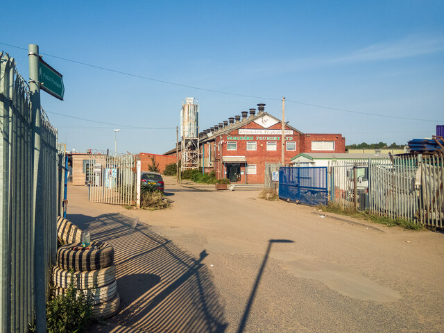
Image: © Oliver Mills Taken: 14 Aug 2022
Seemingly a thriving industry in the Lye region. A public footpath runs parallel with the foundry and continues to Timmis Road, then across the edge of the abandoned "Freehold Farm".
Images are licensed for reuse under creativecommons.org/licenses/by-sa/2.0
Image Location


Leaflet Map data © OpenStreetMap
Latitude
52.461086
Longitude
-2.119023