The Black Country viewed from Wychbury Hill
Introduction
The photograph on this page of The Black Country viewed from Wychbury Hill by Mat Fascione as part of the Geograph project.
The Geograph project started in 2005 with the aim of publishing, organising and preserving representative images for every square kilometre of Great Britain, Ireland and the Isle of Man.

There are currently over 7.5m images from over 14,400 individuals and you can help contribute to the project by visiting https://www.geograph.org.uk
The Black Country viewed from Wychbury Hill
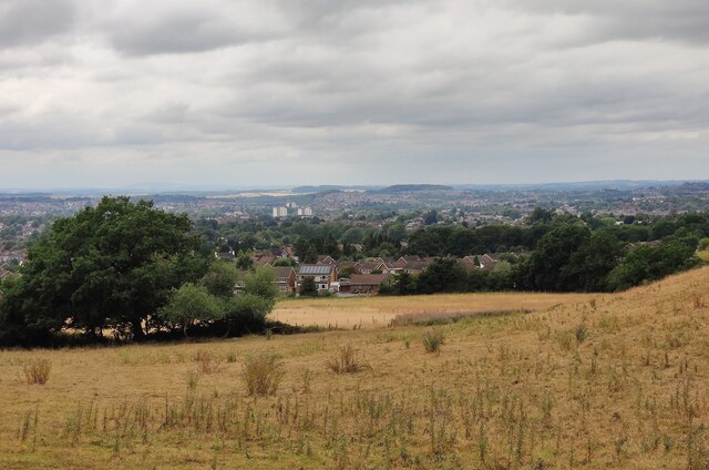
Image: © Mat Fascione Taken: 23 Jul 2022
The Black Country is an area of the West Midlands covering most of the Metropolitan Boroughs of Dudley, Sandwell and Walsall. The name dates from the 1840s, and is believed to come from the soot that the heavy industries covered the area in. Wychbury Hill is part of the Clent Hills, it lies on the border of West Midlands and Worcestershire. Its highest point is 224 m (735 ft) above sea level.
Images are licensed for reuse under creativecommons.org/licenses/by-sa/2.0
Image Location
Latitude
52.438785
Longitude
-2.1247