Corn Harvest
Introduction
The photograph on this page of Corn Harvest by KS as part of the Geograph project.
The Geograph project started in 2005 with the aim of publishing, organising and preserving representative images for every square kilometre of Great Britain, Ireland and the Isle of Man.

There are currently over 7.5m images from over 14,400 individuals and you can help contribute to the project by visiting https://www.geograph.org.uk
Corn Harvest
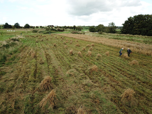
Image: © KS Taken: 18 Sep 2021
Ballycastle & District Vintage Club harvesting corn at Limepark Armoy.
Images are licensed for reuse under creativecommons.org/licenses/by-sa/2.0
Image Location
Latitude
55.122278
Longitude
-6.319835