House and cottages, The Common, Stokenchurch
Introduction
The photograph on this page of House and cottages, The Common, Stokenchurch by Robin Webster as part of the Geograph project.
The Geograph project started in 2005 with the aim of publishing, organising and preserving representative images for every square kilometre of Great Britain, Ireland and the Isle of Man.

There are currently over 7.5m images from over 14,400 individuals and you can help contribute to the project by visiting https://www.geograph.org.uk
House and cottages, The Common, Stokenchurch
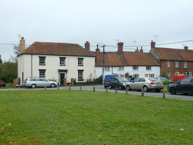
Image: © Robin Webster Taken: 18 Oct 2015
Grade II listed buildings, the cottages 17th century, the house, The Barley Mow, about 1800, formerly a pub of that name.
Images are licensed for reuse under creativecommons.org/licenses/by-sa/2.0
Image Location
Latitude
51.659183
Longitude
-0.902394