Benchmark at Dunbeath Village
Introduction
The photograph on this page of Benchmark at Dunbeath Village by David Bremner as part of the Geograph project.
The Geograph project started in 2005 with the aim of publishing, organising and preserving representative images for every square kilometre of Great Britain, Ireland and the Isle of Man.

There are currently over 7.5m images from over 14,400 individuals and you can help contribute to the project by visiting https://www.geograph.org.uk
Benchmark at Dunbeath Village
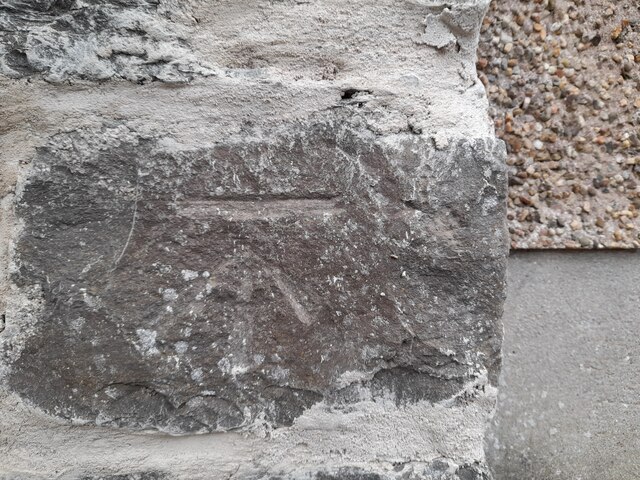
Image: © David Bremner Taken: 14 Aug 2022
An old cut mark on a private house.
Images are licensed for reuse under creativecommons.org/licenses/by-sa/2.0
Image Location
Latitude
58.249058
Longitude
-3.430722