Rivett-Drake Road
Introduction
The photograph on this page of Rivett-Drake Road by Colin Smith as part of the Geograph project.
The Geograph project started in 2005 with the aim of publishing, organising and preserving representative images for every square kilometre of Great Britain, Ireland and the Isle of Man.

There are currently over 7.5m images from over 14,400 individuals and you can help contribute to the project by visiting https://www.geograph.org.uk
Rivett-Drake Road
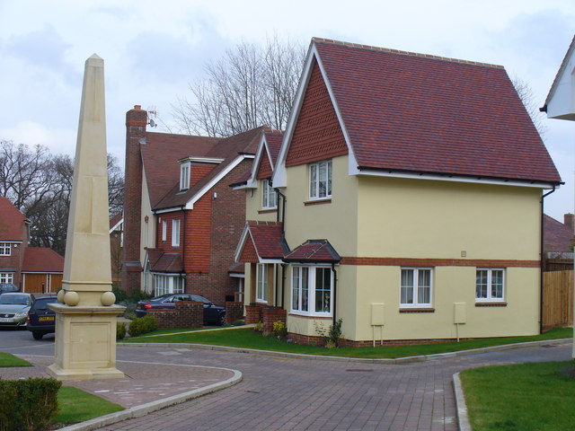
Image: © Colin Smith Taken: 15 Mar 2008
Eye-catching obelisk beside modern up-market housing on Guildford's Queen Elizabeth Park housing estate.
Images are licensed for reuse under creativecommons.org/licenses/by-sa/2.0
Image Location
Latitude
51.262384
Longitude
-0.592542