Lock-up garages on Pudsey Road
Introduction
The photograph on this page of Lock-up garages on Pudsey Road by Stephen Craven as part of the Geograph project.
The Geograph project started in 2005 with the aim of publishing, organising and preserving representative images for every square kilometre of Great Britain, Ireland and the Isle of Man.

There are currently over 7.5m images from over 14,400 individuals and you can help contribute to the project by visiting https://www.geograph.org.uk
Lock-up garages on Pudsey Road
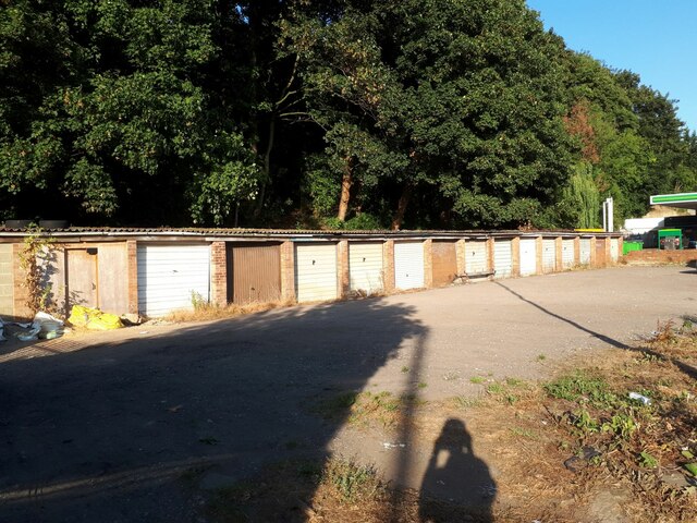
Image: © Stephen Craven Taken: 12 Aug 2022
Old maps show that the tail race of the former Hare Park Mill is culverted beneath this plot on the north side of the road, which could explain why it has not been substantially built on other than the glasshouses shown on a mid-20th century map the later garages at the back of the site.
Images are licensed for reuse under creativecommons.org/licenses/by-sa/2.0
Image Location
Latitude
53.796945
Longitude
-1.623008