Three Corner Field/Brook Meadow
Introduction
The photograph on this page of Three Corner Field/Brook Meadow by Simon Carey as part of the Geograph project.
The Geograph project started in 2005 with the aim of publishing, organising and preserving representative images for every square kilometre of Great Britain, Ireland and the Isle of Man.

There are currently over 7.5m images from over 14,400 individuals and you can help contribute to the project by visiting https://www.geograph.org.uk
Three Corner Field/Brook Meadow
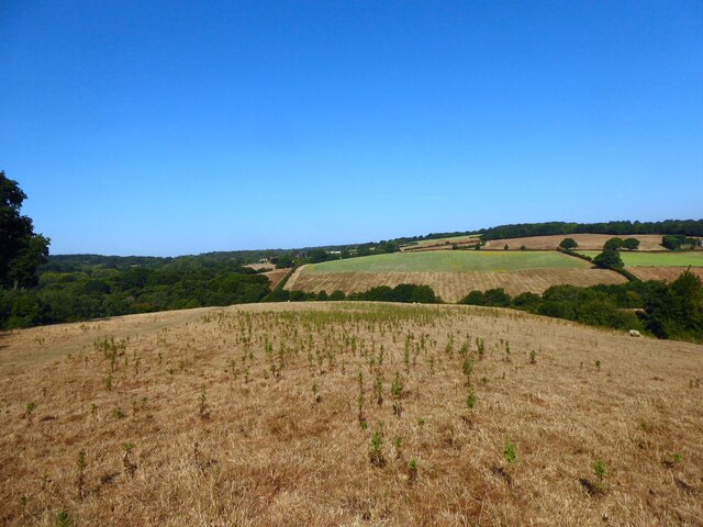
Image: © Simon Carey Taken: 13 Aug 2022
The name of the fields according to Battle's 1859 tithe map that have been merged along with Image to the west of the public footpath to form a larger unit. Three Corner Field was in the foreground whilst Brook Meadow was the much larger field descending the slope towards an unnamed tributary of the River Line.
Images are licensed for reuse under creativecommons.org/licenses/by-sa/2.0
Image Location


Leaflet Map data © OpenStreetMap
Latitude
50.920911
Longitude
0.474356