Old Tramway Route
Introduction
The photograph on this page of Old Tramway Route by Kevin Waterhouse as part of the Geograph project.
The Geograph project started in 2005 with the aim of publishing, organising and preserving representative images for every square kilometre of Great Britain, Ireland and the Isle of Man.

There are currently over 7.5m images from over 14,400 individuals and you can help contribute to the project by visiting https://www.geograph.org.uk
Old Tramway Route
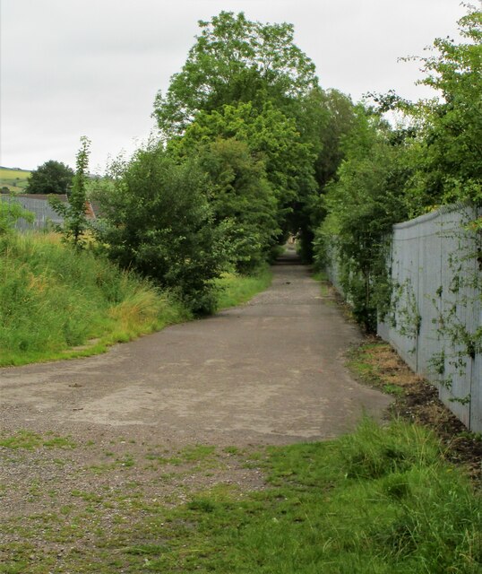
Image: © Kevin Waterhouse Taken: 17 Aug 2020
The route was to Butterworth Hall from Tunshill collieries. This view is near the Butterworth Hall end in Milnrow
Images are licensed for reuse under creativecommons.org/licenses/by-sa/2.0
Image Location
Latitude
53.607753
Longitude
-2.103338