More New Housing
Introduction
The photograph on this page of More New Housing by Des Blenkinsopp as part of the Geograph project.
The Geograph project started in 2005 with the aim of publishing, organising and preserving representative images for every square kilometre of Great Britain, Ireland and the Isle of Man.

There are currently over 7.5m images from over 14,400 individuals and you can help contribute to the project by visiting https://www.geograph.org.uk
More New Housing
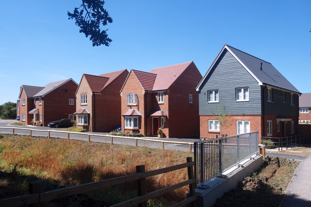
Image: © Des Blenkinsopp Taken: 10 Aug 2022
Land north of the old railway path is all being built on.
Images are licensed for reuse under creativecommons.org/licenses/by-sa/2.0
Image Location
Latitude
51.239673
Longitude
-0.721448