Croft Farm
Introduction
The photograph on this page of Croft Farm by Derek Harper as part of the Geograph project.
The Geograph project started in 2005 with the aim of publishing, organising and preserving representative images for every square kilometre of Great Britain, Ireland and the Isle of Man.

There are currently over 7.5m images from over 14,400 individuals and you can help contribute to the project by visiting https://www.geograph.org.uk
Croft Farm
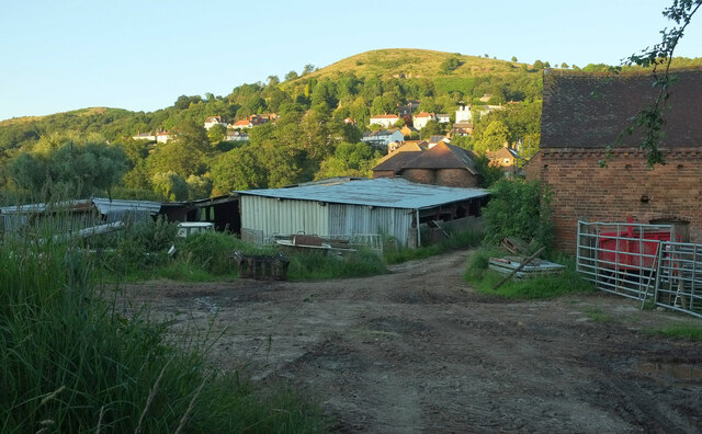
Image: © Derek Harper Taken: 13 Jul 2021
The Wyche Way follows Mathon bridleway MA45 between farm buildings. Table Hill rises above West Malvern.
Images are licensed for reuse under creativecommons.org/licenses/by-sa/2.0
Image Location
Latitude
52.113683
Longitude
-2.353204