Old Milestone, West Coker / A30
Introduction
The photograph on this page of Old Milestone, West Coker / A30 by Mr Red as part of the Geograph project.
The Geograph project started in 2005 with the aim of publishing, organising and preserving representative images for every square kilometre of Great Britain, Ireland and the Isle of Man.

There are currently over 7.5m images from over 14,400 individuals and you can help contribute to the project by visiting https://www.geograph.org.uk
Old Milestone, West Coker / A30
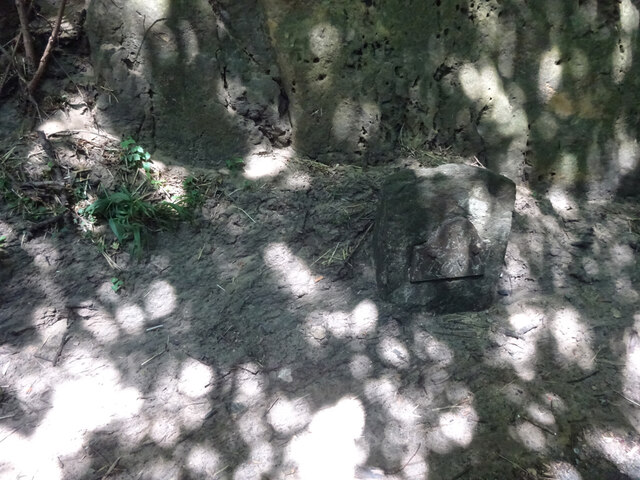
Image: © Mr Red Taken: 29 Jul 2022
On the NW side of the A30 in a cutting. Near the bridge carrying the West Coker Hill / Collarway Lane road. It is difficult to get to on foot, the verges are slight and the cutting long, under the bridge non-existent verges. This image was taken from a slow moving vehicle. At one time the inscription would have included "Crewkerne 5", currently the destination is on the plate. Inscription: IV / Yeoville Grade II listed see https://historicengland.org.uk/listing/the-list/list-entry/1417785 Milestone Society National ID: SO_YVCW04
Images are licensed for reuse under creativecommons.org/licenses/by-sa/2.0
Image Location
Latitude
50.917926
Longitude
-2.707083