Path to Cullaloe Reservoir
Introduction
The photograph on this page of Path to Cullaloe Reservoir by Bill Kasman as part of the Geograph project.
The Geograph project started in 2005 with the aim of publishing, organising and preserving representative images for every square kilometre of Great Britain, Ireland and the Isle of Man.

There are currently over 7.5m images from over 14,400 individuals and you can help contribute to the project by visiting https://www.geograph.org.uk
Path to Cullaloe Reservoir
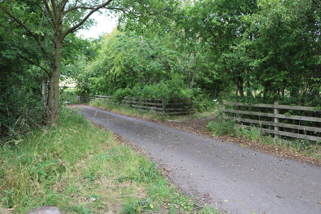
Image: © Bill Kasman Taken: 20 Jul 2022
Off the access road to the parking area the track to the right leads to the reservoir. See main article https://www.geograph.org.uk/article/Cullaloe-Forest-and-Cullaloe-Reservoir
Images are licensed for reuse under creativecommons.org/licenses/by-sa/2.0
Image Location
Latitude
56.071302
Longitude
-3.309155