Gunters hill junction with Nibletts Hill
Introduction
The photograph on this page of Gunters hill junction with Nibletts Hill by Anthony Vosper as part of the Geograph project.
The Geograph project started in 2005 with the aim of publishing, organising and preserving representative images for every square kilometre of Great Britain, Ireland and the Isle of Man.

There are currently over 7.5m images from over 14,400 individuals and you can help contribute to the project by visiting https://www.geograph.org.uk
Gunters hill junction with Nibletts Hill
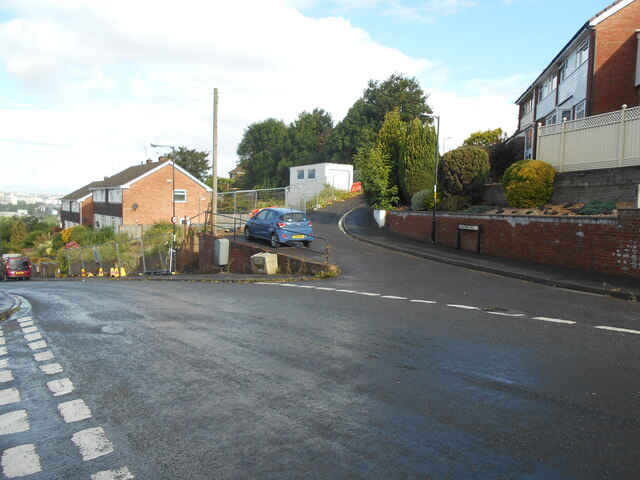
Image: © Anthony Vosper Taken: 25 Jun 2022
St Georges, Bristol. Housing built close to the River Severn.
Images are licensed for reuse under creativecommons.org/licenses/by-sa/2.0
Image Location
Latitude
51.453158
Longitude
-2.530852