River Aline
Introduction
The photograph on this page of River Aline by John Naisbitt as part of the Geograph project.
The Geograph project started in 2005 with the aim of publishing, organising and preserving representative images for every square kilometre of Great Britain, Ireland and the Isle of Man.

There are currently over 7.5m images from over 14,400 individuals and you can help contribute to the project by visiting https://www.geograph.org.uk
River Aline
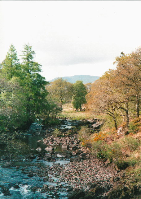
Image: © John Naisbitt Taken: Unknown
River Aline during a dry spell in May. This was once a good salmon river but like most on the west coast, the salmon are very sparse. In the distance is Beinn na h-Uamha (pronounced Ben a hooa)
Images are licensed for reuse under creativecommons.org/licenses/by-sa/2.0
Image Location


Leaflet Map data © OpenStreetMap
Latitude
56.571667
Longitude
-5.75393