Dam House
Introduction
The photograph on this page of Dam House by Kevin Waterhouse as part of the Geograph project.
The Geograph project started in 2005 with the aim of publishing, organising and preserving representative images for every square kilometre of Great Britain, Ireland and the Isle of Man.

There are currently over 7.5m images from over 14,400 individuals and you can help contribute to the project by visiting https://www.geograph.org.uk
Dam House
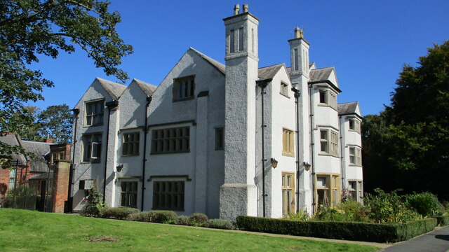
Image: © Kevin Waterhouse Taken: 21 Sep 2019
A much altered hall with 1650 datestone but still with the long gallery on the top floor running east to west
Images are licensed for reuse under creativecommons.org/licenses/by-sa/2.0
Image Location
Latitude
53.50365
Longitude
-2.456175