Sabrina Way leaves lane, Vinesend
Introduction
The photograph on this page of Sabrina Way leaves lane, Vinesend by Derek Harper as part of the Geograph project.
The Geograph project started in 2005 with the aim of publishing, organising and preserving representative images for every square kilometre of Great Britain, Ireland and the Isle of Man.

There are currently over 7.5m images from over 14,400 individuals and you can help contribute to the project by visiting https://www.geograph.org.uk
Sabrina Way leaves lane, Vinesend
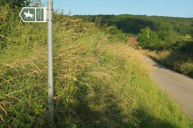
Image: © Derek Harper Taken: 13 Jul 2021
The bridleway is Cradley CD43. The lane is a no through road to Upper Vinesend Farm.
Images are licensed for reuse under creativecommons.org/licenses/by-sa/2.0
Image Location
Latitude
52.125407
Longitude
-2.370679