Gayles, West Street
Introduction
The photograph on this page of Gayles, West Street by Mel Towler as part of the Geograph project.
The Geograph project started in 2005 with the aim of publishing, organising and preserving representative images for every square kilometre of Great Britain, Ireland and the Isle of Man.

There are currently over 7.5m images from over 14,400 individuals and you can help contribute to the project by visiting https://www.geograph.org.uk
Gayles, West Street
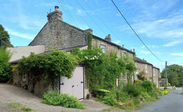
Image: © Mel Towler Taken: 21 Jun 2022
According to the OS benchmark database this end cottage has a benchmark cut into the east face, which is the face which fronts onto the road. Unable to make an assessment as too much vegetation.
Images are licensed for reuse under creativecommons.org/licenses/by-sa/2.0
Image Location
Latitude
54.461834
Longitude
-1.812535