Footpath through woods to east of Nankilly Farm
Introduction
The photograph on this page of Footpath through woods to east of Nankilly Farm by Rob Farrow as part of the Geograph project.
The Geograph project started in 2005 with the aim of publishing, organising and preserving representative images for every square kilometre of Great Britain, Ireland and the Isle of Man.

There are currently over 7.5m images from over 14,400 individuals and you can help contribute to the project by visiting https://www.geograph.org.uk
Footpath through woods to east of Nankilly Farm
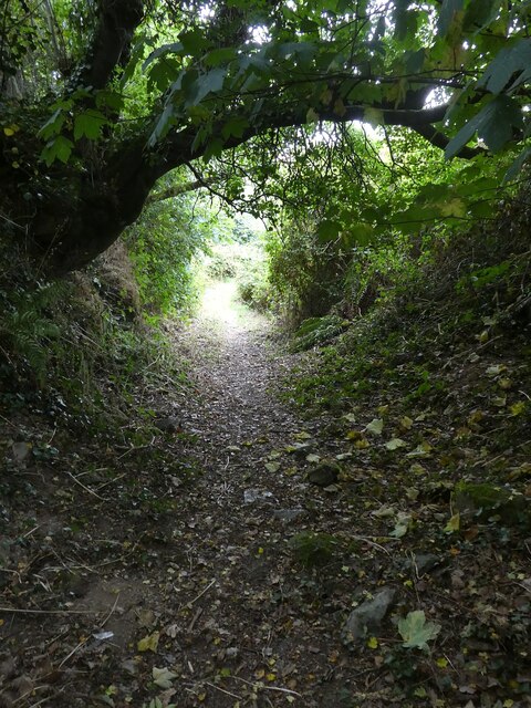
Image: © Rob Farrow Taken: 30 Jul 2022
This section of the footpath climbs from north to south and passes through the western edge of woodlands to the east of Image]
Images are licensed for reuse under creativecommons.org/licenses/by-sa/2.0
Image Location
Latitude
50.321648
Longitude
-4.950044