Cheltenham Road, Stratton
Introduction
The photograph on this page of Cheltenham Road, Stratton by Stephen McKay as part of the Geograph project.
The Geograph project started in 2005 with the aim of publishing, organising and preserving representative images for every square kilometre of Great Britain, Ireland and the Isle of Man.

There are currently over 7.5m images from over 14,400 individuals and you can help contribute to the project by visiting https://www.geograph.org.uk
Cheltenham Road, Stratton
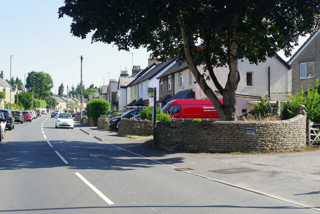
Image: © Stephen McKay Taken: 29 Jul 2022
As the name indicates, Stratton, effectively a suburb of Cirencester with a population of about 2,500, is situated on a Roman road, in this case Ermin Way that linked Gloucester with Silchester (not to be confused with Ermine Street). The road in this view was not part of the Roman road but is now the A435 leading through the Cotswold countryside to Cheltenham.
Images are licensed for reuse under creativecommons.org/licenses/by-sa/2.0
Image Location
Latitude
51.727066
Longitude
-1.976643