Link path off Stainers Way
Introduction
The photograph on this page of Link path off Stainers Way by Stephen Craven as part of the Geograph project.
The Geograph project started in 2005 with the aim of publishing, organising and preserving representative images for every square kilometre of Great Britain, Ireland and the Isle of Man.

There are currently over 7.5m images from over 14,400 individuals and you can help contribute to the project by visiting https://www.geograph.org.uk
Link path off Stainers Way
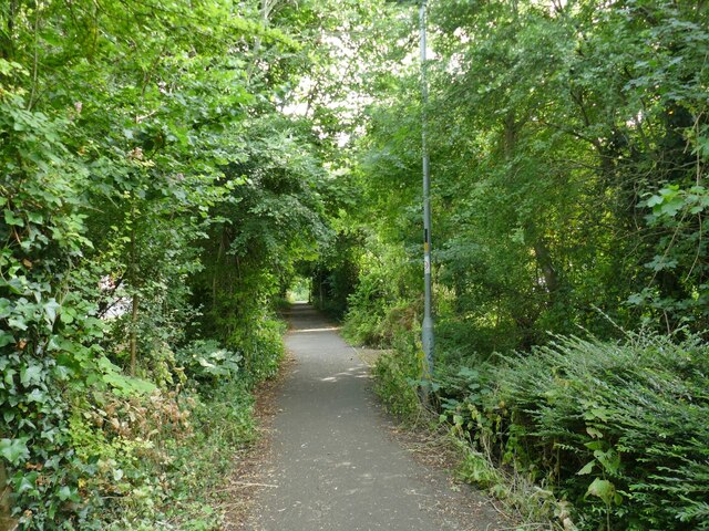
Image: © Stephen Craven Taken: 13 Jul 2022
This short, straight section of footpath connects the housing estate to a longer foot and cycle path that runs for 1.3km alongside the Hardenhuish Brook from the ring road to Bristol Road on the outskirts of the town centre.
Images are licensed for reuse under creativecommons.org/licenses/by-sa/2.0
Image Location
Latitude
51.470735
Longitude
-2.137442