26 - 34 Hill's Lane, Shrewsbury
Introduction
The photograph on this page of 26 - 34 Hill's Lane, Shrewsbury by Richard Law as part of the Geograph project.
The Geograph project started in 2005 with the aim of publishing, organising and preserving representative images for every square kilometre of Great Britain, Ireland and the Isle of Man.

There are currently over 7.5m images from over 14,400 individuals and you can help contribute to the project by visiting https://www.geograph.org.uk
26 - 34 Hill's Lane, Shrewsbury
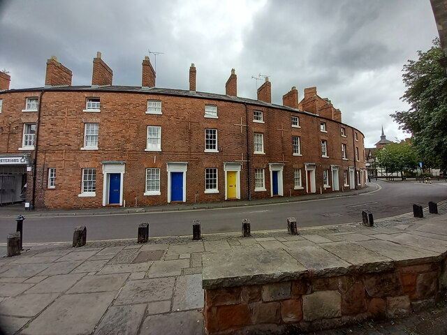
Image: © Richard Law Taken: 3 Jul 2022
A curving terrace of 9 houses (there were originally 3 more to the left, but they have been demolished and replaced) which date from the early 19th century. The whole terrace was Grade II listed https://britishlistedbuildings.co.uk/101270755-26-34-hills-lane-shrewsbury#.YuVhTXbMLIU & https://historicengland.org.uk/listing/the-list/list-entry/1270755 in 1972. Each has a very small garden or patio area at the rear.
Images are licensed for reuse under creativecommons.org/licenses/by-sa/2.0
Image Location
Latitude
52.708896
Longitude
-2.756977