Thurlestone Road
Introduction
The photograph on this page of Thurlestone Road by Ian Capper as part of the Geograph project.
The Geograph project started in 2005 with the aim of publishing, organising and preserving representative images for every square kilometre of Great Britain, Ireland and the Isle of Man.

There are currently over 7.5m images from over 14,400 individuals and you can help contribute to the project by visiting https://www.geograph.org.uk
Thurlestone Road
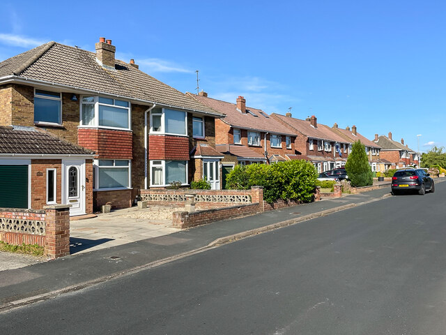
Image: © Ian Capper Taken: 14 Jul 2022
c.1960s? housing in Upham Road in the Walcot West suburb of Swindon.
Images are licensed for reuse under creativecommons.org/licenses/by-sa/2.0
Image Location
Latitude
51.555033
Longitude
-1.767185