The Lawn
Introduction
The photograph on this page of The Lawn by Ian Capper as part of the Geograph project.
The Geograph project started in 2005 with the aim of publishing, organising and preserving representative images for every square kilometre of Great Britain, Ireland and the Isle of Man.

There are currently over 7.5m images from over 14,400 individuals and you can help contribute to the project by visiting https://www.geograph.org.uk
The Lawn
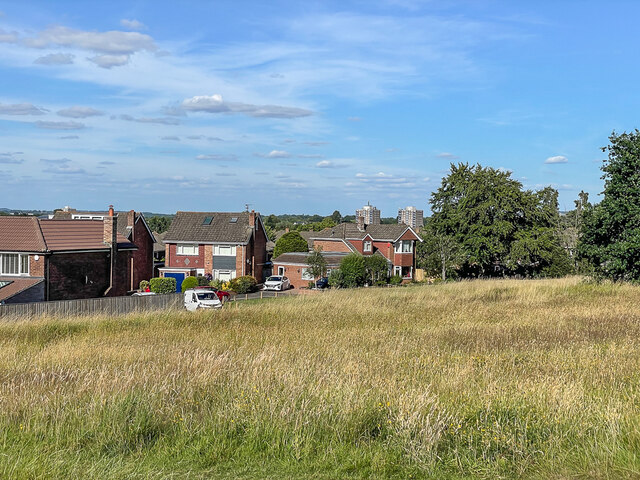
Image: © Ian Capper Taken: 14 Jul 2022
Public park formed from the former estate of the Goddard family. The houses are in Merrivale Grove. The blocks of flats in the background are Milverton Court and Torrington Court in Banwell Avenue, both completed in 1964.
Images are licensed for reuse under creativecommons.org/licenses/by-sa/2.0
Image Location
Latitude
51.553935
Longitude
-1.766931