Flood Plain of River Roch
Introduction
The photograph on this page of Flood Plain of River Roch by Kevin Waterhouse as part of the Geograph project.
The Geograph project started in 2005 with the aim of publishing, organising and preserving representative images for every square kilometre of Great Britain, Ireland and the Isle of Man.

There are currently over 7.5m images from over 14,400 individuals and you can help contribute to the project by visiting https://www.geograph.org.uk
Flood Plain of River Roch
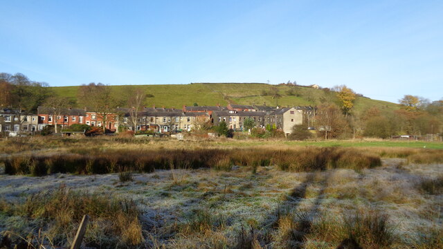
Image: © Kevin Waterhouse Taken: 19 Nov 2017
This rough pasture is between the railway embankment and the River Roch. The housing is on Todmorden Road at Gale. The Environment Agency have since developed the next section of land upstream as a designated flood plain
Images are licensed for reuse under creativecommons.org/licenses/by-sa/2.0
Image Location
Latitude
53.652437
Longitude
-2.087108