Drainage channel, Snodland
Introduction
The photograph on this page of Drainage channel, Snodland by Richard Dorrell as part of the Geograph project.
The Geograph project started in 2005 with the aim of publishing, organising and preserving representative images for every square kilometre of Great Britain, Ireland and the Isle of Man.

There are currently over 7.5m images from over 14,400 individuals and you can help contribute to the project by visiting https://www.geograph.org.uk
Drainage channel, Snodland
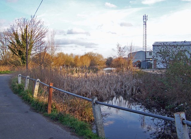
Image: © Richard Dorrell Taken: 12 Mar 2008
To the left is the access to the Brookland Lake car park. The lake was once a gravel pit, but is now a fishing lake. To the right are industrial buildings close to the A228, Snodland bypass.
Images are licensed for reuse under creativecommons.org/licenses/by-sa/2.0
Image Location
Latitude
51.325905
Longitude
0.448585