Shepherd Hill, Swainby
Introduction
The photograph on this page of Shepherd Hill, Swainby by Gordon Hatton as part of the Geograph project.
The Geograph project started in 2005 with the aim of publishing, organising and preserving representative images for every square kilometre of Great Britain, Ireland and the Isle of Man.

There are currently over 7.5m images from over 14,400 individuals and you can help contribute to the project by visiting https://www.geograph.org.uk
Shepherd Hill, Swainby
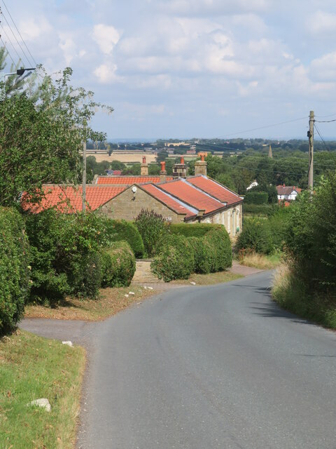
Image: © Gordon Hatton Taken: 27 Jul 2022
Looking down the hill at the edge of the village. The spire of Holy Cross Church is visible over the trees.
Images are licensed for reuse under creativecommons.org/licenses/by-sa/2.0
Image Location
Latitude
54.405444
Longitude
-1.261893