Victorian high-rise
Introduction
The photograph on this page of Victorian high-rise by Alan Murray-Rust as part of the Geograph project.
The Geograph project started in 2005 with the aim of publishing, organising and preserving representative images for every square kilometre of Great Britain, Ireland and the Isle of Man.

There are currently over 7.5m images from over 14,400 individuals and you can help contribute to the project by visiting https://www.geograph.org.uk
Victorian high-rise
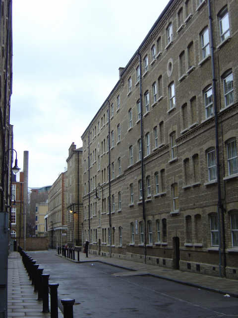
Image: © Alan Murray-Rust Taken: 8 Mar 2008
Chequer Street, part of the Peabody Trust housing development "for artisans" off Whitecross Street.
Images are licensed for reuse under creativecommons.org/licenses/by-sa/2.0
Image Location
Latitude
51.523458
Longitude
-0.09195