All Saints Church, Snodland
Introduction
The photograph on this page of All Saints Church, Snodland by Richard Dorrell as part of the Geograph project.
The Geograph project started in 2005 with the aim of publishing, organising and preserving representative images for every square kilometre of Great Britain, Ireland and the Isle of Man.

There are currently over 7.5m images from over 14,400 individuals and you can help contribute to the project by visiting https://www.geograph.org.uk
All Saints Church, Snodland
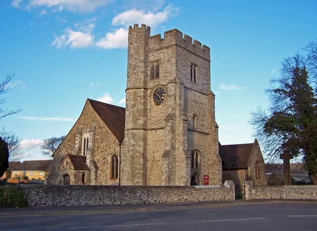
Image: © Richard Dorrell Taken: 12 Mar 2008
This church stands at the end of Mill Street opposite the (relatively modern) paper mill. A railway and recent bypass road has now almost cut off this part of the town from the historical centre of the community.
Images are licensed for reuse under creativecommons.org/licenses/by-sa/2.0
Image Location
Latitude
51.329843
Longitude
0.449513