The Steadings, Greenside
Introduction
The photograph on this page of The Steadings, Greenside by Robert Graham as part of the Geograph project.
The Geograph project started in 2005 with the aim of publishing, organising and preserving representative images for every square kilometre of Great Britain, Ireland and the Isle of Man.

There are currently over 7.5m images from over 14,400 individuals and you can help contribute to the project by visiting https://www.geograph.org.uk
The Steadings, Greenside
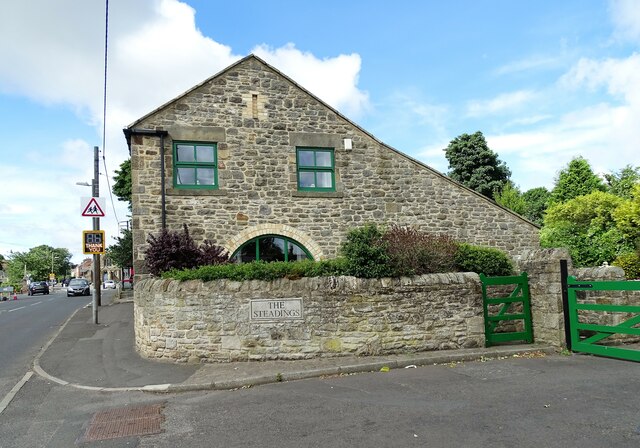
Image: © Robert Graham Taken: 4 Jul 2022
This building stands on Lead Road, in the centre of the village. It seems to be one of the original early 19th century village houses, and was possibly a farmhouse. At this period, Greenside was a small agricultural settlement with some small scale coal mining. At the end of the century, larger collieries were opened and the village was greatly expanded.
Images are licensed for reuse under creativecommons.org/licenses/by-sa/2.0
Image Location
Latitude
54.953981
Longitude
-1.78293