Bute - Kerrycroy - Numbers 3 & 4
Introduction
The photograph on this page of Bute - Kerrycroy - Numbers 3 & 4 by Rob Farrow as part of the Geograph project.
The Geograph project started in 2005 with the aim of publishing, organising and preserving representative images for every square kilometre of Great Britain, Ireland and the Isle of Man.

There are currently over 7.5m images from over 14,400 individuals and you can help contribute to the project by visiting https://www.geograph.org.uk
Bute - Kerrycroy - Numbers 3 & 4
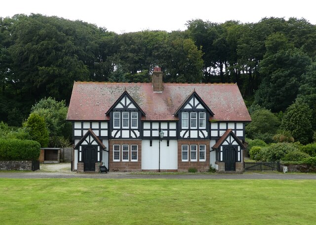
Image: © Rob Farrow Taken: 27 Jun 2022
A pair of gabled houses in the planned village of Kerrycroy. This pair is ostensibly identical to Numbers 11 & 12. See shared description below:
Images are licensed for reuse under creativecommons.org/licenses/by-sa/2.0
Image Location
Latitude
55.80874
Longitude
-5.022955