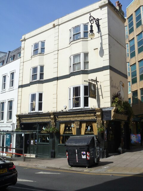
Brighton buildings [3]
Introduction
The photograph on this page of Brighton buildings [3] by Michael Dibb as part of the Geograph project.
The Geograph project started in 2005 with the aim of publishing, organising and preserving representative images for every square kilometre of Great Britain, Ireland and the Isle of Man.
There are currently over 7.5m images from over 14,400 individuals and you can help contribute to the project by visiting https://www.geograph.org.uk

Image: © Michael Dibb Taken: 9 May 2022
The Quadrant public house, numbers 12 and 13 North Street Quadrant, was built in the mid 19th century and altered, including a new front, circa 1900. Constructed of stuccoed brick. Listed, grade II, with details at: https://historicengland.org.uk/listing/the-list/list-entry/1380627 Brighton is a seaside resort and one of the two main areas of the City of Brighton and Hove. Located on the south coast, the city is some 46 miles (76 kilometres) south of London. There is evidence of settlement in the area back to the Bronze Age. The city developed as a health resort, and with the arrival of the railway in 1841, it became a popular destination for day-trippers from London. The city is renowned for the Royal Pavilion and for its pier.

