Heathfield Farm, Greenside
Introduction
The photograph on this page of Heathfield Farm, Greenside by Robert Graham as part of the Geograph project.
The Geograph project started in 2005 with the aim of publishing, organising and preserving representative images for every square kilometre of Great Britain, Ireland and the Isle of Man.

There are currently over 7.5m images from over 14,400 individuals and you can help contribute to the project by visiting https://www.geograph.org.uk
Heathfield Farm, Greenside
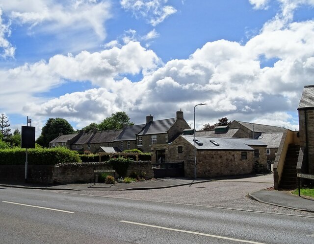
Image: © Robert Graham Taken: 4 Jul 2022
This is no longer a working farm, having been converted to residential use, probably some time ago. It is in the centre of the village and dates from the early or mid 19th century when Greenside was a small agricultural settlement.
Images are licensed for reuse under creativecommons.org/licenses/by-sa/2.0
Image Location
Latitude
54.953801
Longitude
-1.782775