Farmland and mobile homes at Hinksford in Staffordshire
Introduction
The photograph on this page of Farmland and mobile homes at Hinksford in Staffordshire by Roger Kidd as part of the Geograph project.
The Geograph project started in 2005 with the aim of publishing, organising and preserving representative images for every square kilometre of Great Britain, Ireland and the Isle of Man.

There are currently over 7.5m images from over 14,400 individuals and you can help contribute to the project by visiting https://www.geograph.org.uk
Farmland and mobile homes at Hinksford in Staffordshire
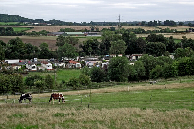
Image: © Roger Kidd Taken: 24 Aug 2017
A telephoto assisted image, looking south-east from the footpath by Swindon Rough. Ridgehill Wood is on the skyline centrally, near Kingswinford. The lower line of trees across the scene, at the far end of the pasture, is by the Smestow Brook. Between this and the Staffordshire and Worcestershire Canal is the Hinksford Park mobile homes site. Wide angle view: Image]
Images are licensed for reuse under creativecommons.org/licenses/by-sa/2.0
Image Location
Latitude
52.505116
Longitude
-2.200613