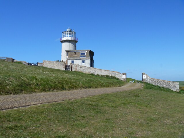
A walk from Birling Gap to Eastbourne [16]
Introduction
The photograph on this page of A walk from Birling Gap to Eastbourne [16] by Michael Dibb as part of the Geograph project.
The Geograph project started in 2005 with the aim of publishing, organising and preserving representative images for every square kilometre of Great Britain, Ireland and the Isle of Man.
There are currently over 7.5m images from over 14,400 individuals and you can help contribute to the project by visiting https://www.geograph.org.uk

Image: © Michael Dibb Taken: 8 May 2022
Belle Tout Lighthouse, now seen from the east. The lighthouse was built in 1831 of Aberdeen granite. Its light was often obscured by fog, and it became disused when the modern lighthouse was built below the cliff in 1902. A house was built onto the side of the lighthouse in the 1930s and used as an artillery target and reduced to a ruin. Restored in the 1950s and moved 56 feet (17 metres) inland in 1999, the lighthouse now offers holiday accommodation. Listed, grade II, with details at: https://historicengland.org.uk/listing/the-list/list-entry/1353108 From Birling Gap the route follows the long distance South Downs Way via Belle Tout and Beachy Head to Eastbourne. Walking along the cliff tops for most of the route, there are many expansive, spectacular views. About 4 miles.

