Eden Bridge parapet
Introduction
The photograph on this page of Eden Bridge parapet by Adrian Taylor as part of the Geograph project.
The Geograph project started in 2005 with the aim of publishing, organising and preserving representative images for every square kilometre of Great Britain, Ireland and the Isle of Man.

There are currently over 7.5m images from over 14,400 individuals and you can help contribute to the project by visiting https://www.geograph.org.uk
Eden Bridge parapet
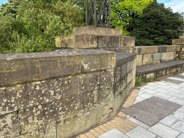
Image: © Adrian Taylor Taken: 10 May 2022
Detail of the east parapet of Eden Bridge, Carlisle. There is an Ordnance Survey cut benchmark on the face of the wall near the wall angle (photograph Image).
Images are licensed for reuse under creativecommons.org/licenses/by-sa/2.0
Image Location


Leaflet Map data © OpenStreetMap
Latitude
54.899977
Longitude
-2.935762