Worth Way, Rowfant
Introduction
The photograph on this page of Worth Way, Rowfant by Robin Webster as part of the Geograph project.
The Geograph project started in 2005 with the aim of publishing, organising and preserving representative images for every square kilometre of Great Britain, Ireland and the Isle of Man.

There are currently over 7.5m images from over 14,400 individuals and you can help contribute to the project by visiting https://www.geograph.org.uk
Worth Way, Rowfant
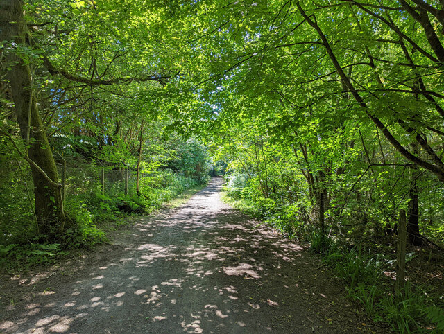
Image: © Robin Webster Taken: 9 Jul 2022
Here the path deviates from the old railway line to run closely parallel but behind the old station area which was to the left. The station area became a Colas depot when the railway closed. Colas have recently vacated this and the site sold.
Images are licensed for reuse under creativecommons.org/licenses/by-sa/2.0
Image Location
Latitude
51.115607
Longitude
-0.106942