Public bridleway south east of Lidlington (2)
Introduction
The photograph on this page of Public bridleway south east of Lidlington (2) by Richard Vince as part of the Geograph project.
The Geograph project started in 2005 with the aim of publishing, organising and preserving representative images for every square kilometre of Great Britain, Ireland and the Isle of Man.

There are currently over 7.5m images from over 14,400 individuals and you can help contribute to the project by visiting https://www.geograph.org.uk
Public bridleway south east of Lidlington (2)
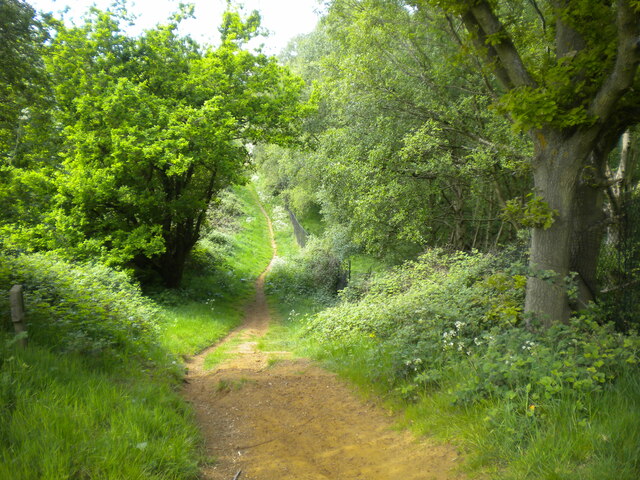
Image: © Richard Vince Taken: 7 May 2022
Forming part of the Marston Vale Trail. This was quite an ascent on what was turning out to be a surprisingly warm day, and I would imagine it would be tricky in either direction on horseback.
Images are licensed for reuse under creativecommons.org/licenses/by-sa/2.0
Image Location
Latitude
52.037544
Longitude
-0.553167