Public bridleway south east of Lidlington (1)
Introduction
The photograph on this page of Public bridleway south east of Lidlington (1) by Richard Vince as part of the Geograph project.
The Geograph project started in 2005 with the aim of publishing, organising and preserving representative images for every square kilometre of Great Britain, Ireland and the Isle of Man.

There are currently over 7.5m images from over 14,400 individuals and you can help contribute to the project by visiting https://www.geograph.org.uk
Public bridleway south east of Lidlington (1)
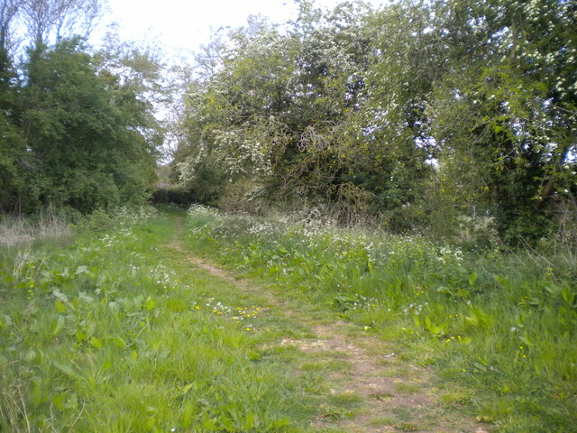
Image: © Richard Vince Taken: 7 May 2022
Looking towards the village, which is only a short walk downhill from here. The path forms part of the Marston Vale Trail.
Images are licensed for reuse under creativecommons.org/licenses/by-sa/2.0
Image Location
Latitude
52.039631
Longitude
-0.554703