Public footpath 16W, Copthorne Upper Common
Introduction
The photograph on this page of Public footpath 16W, Copthorne Upper Common by Robin Webster as part of the Geograph project.
The Geograph project started in 2005 with the aim of publishing, organising and preserving representative images for every square kilometre of Great Britain, Ireland and the Isle of Man.

There are currently over 7.5m images from over 14,400 individuals and you can help contribute to the project by visiting https://www.geograph.org.uk
Public footpath 16W, Copthorne Upper Common
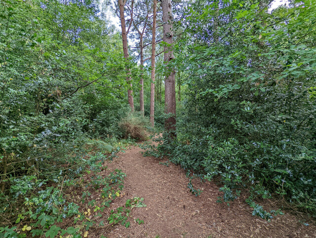
Image: © Robin Webster Taken: 13 Jul 2022
This ought to run straight from corner to corner of the wooded rectangular common, but many other paths complicate matters. The common is owned by Copthorne Preparatory School, who seem to use it for educational and recreational purposes. General public access is tolerated.
Images are licensed for reuse under creativecommons.org/licenses/by-sa/2.0
Image Location
Latitude
51.138134
Longitude
-0.098588