Permissive path alongside Epperstone Park
Introduction
The photograph on this page of Permissive path alongside Epperstone Park by Jonathan Thacker as part of the Geograph project.
The Geograph project started in 2005 with the aim of publishing, organising and preserving representative images for every square kilometre of Great Britain, Ireland and the Isle of Man.

There are currently over 7.5m images from over 14,400 individuals and you can help contribute to the project by visiting https://www.geograph.org.uk
Permissive path alongside Epperstone Park
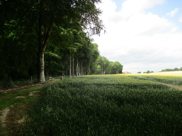
Image: © Jonathan Thacker Taken: 15 Jul 2022
The farmer has created and maintains a permissive path as an alternate route to the existing Epperstone to Oxton footpath. It broadly follows the edge of Epperstone Park and the farmer describes it as "the scenic route". It does indeed give good views across the valley of the Order Beck and has the advantage (for the farmer at least) of avoiding Park Farm.
Images are licensed for reuse under creativecommons.org/licenses/by-sa/2.0
Image Location
Latitude
53.04803
Longitude
-1.046456