Junction, Pembley Green
Introduction
The photograph on this page of Junction, Pembley Green by Robin Webster as part of the Geograph project.
The Geograph project started in 2005 with the aim of publishing, organising and preserving representative images for every square kilometre of Great Britain, Ireland and the Isle of Man.

There are currently over 7.5m images from over 14,400 individuals and you can help contribute to the project by visiting https://www.geograph.org.uk
Junction, Pembley Green
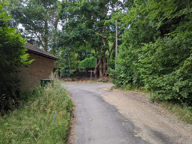
Image: © Robin Webster Taken: 13 Jul 2022
Looking up the drive from Pembley Farm to Pembley Green. The drive is also public footpath 27W which forms a junction with 24W left and 25W right.
Images are licensed for reuse under creativecommons.org/licenses/by-sa/2.0
Image Location
Latitude
51.135177
Longitude
-0.099281