Carey Road level crossing
Introduction
The photograph on this page of Carey Road level crossing by Alan Murray-Rust as part of the Geograph project.
The Geograph project started in 2005 with the aim of publishing, organising and preserving representative images for every square kilometre of Great Britain, Ireland and the Isle of Man.

There are currently over 7.5m images from over 14,400 individuals and you can help contribute to the project by visiting https://www.geograph.org.uk
Carey Road level crossing
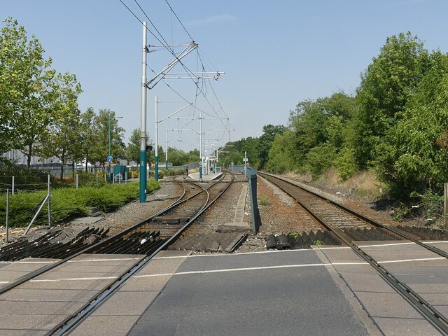
Image: © Alan Murray-Rust Taken: 19 Jul 2022
NET tramway left, with Bulwell Forest stop; Robin Hood Line – railway – to Worksop on the right. Through Bulwell the tramway occupies the space formerly occupied by the second track of the railway, which was singled to accommodate it.
Images are licensed for reuse under creativecommons.org/licenses/by-sa/2.0
Image Location
Latitude
53.005678
Longitude
-1.190456