Crown and Anchor House
Introduction
The photograph on this page of Crown and Anchor House by Neil Owen as part of the Geograph project.
The Geograph project started in 2005 with the aim of publishing, organising and preserving representative images for every square kilometre of Great Britain, Ireland and the Isle of Man.

There are currently over 7.5m images from over 14,400 individuals and you can help contribute to the project by visiting https://www.geograph.org.uk
Crown and Anchor House
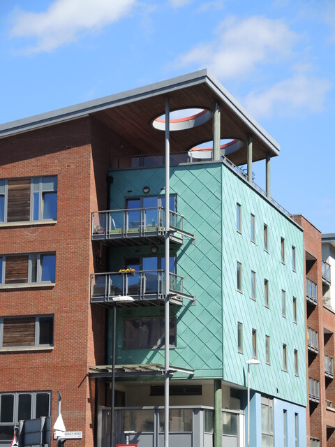
Image: © Neil Owen Taken: 7 Jul 2022
A modern block of apartments now stand where there was once some of Bristol's industrial heartland. As with much of the area, the style and appearance are varied. At least the light will get in. The block occupies a couple of streets where a school and Congregational chapel once were. Perhaps the name refers to a malthouse opposite them, now lost.
Images are licensed for reuse under creativecommons.org/licenses/by-sa/2.0
Image Location
Latitude
51.452923
Longitude
-2.5805